Stöbern
genialokal zum Startbildschirm hinzufügen
Installieren Sie die genialokal App auf Ihrem Startbildschirm für einen schnellen Zugriff und eine komfortable Nutzung.
Installieren Sie die genialokal App auf Ihrem Startbildschirm für einen schnellen Zugriff und eine komfortable Nutzung.
Tippen Sie einfach auf Teilen:
 Und dann auf "Zum Home-Bildschirm [+]".
Ihr gewünschter Artikel ist in 0 Buchhandlungen vorrätig - wählen Sie hier eine Buchhandlung in Ihrer Nähe aus:
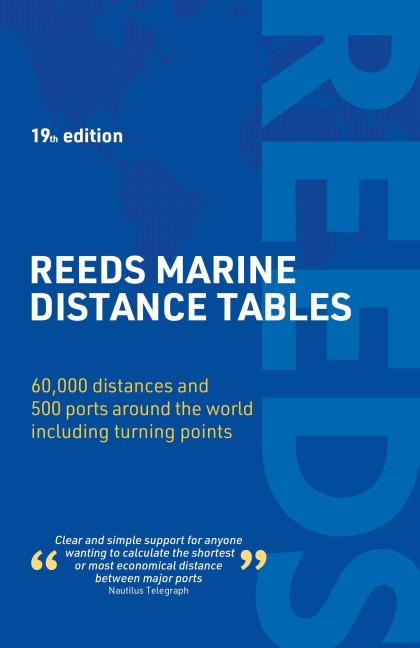
Reeds Marine Distance Tables is the perfect ready reckoner for captains, navigators and ship owners wanting a quick and accurate distance reference between all the regularly used commercial ports around the world. Divided into key 'market areas', Reeds Marine Distance Tables includes a pull-out map for area identification and an easy see-at-a-glance port reference. Traffic Separation Schemes are calculated into the tables already, for ease of use. Useful tables of major 'turning points' around the world (including Cape Finisterre, Cape Horn and the Dover Straits), transatlantic distances, world time zones, and time and speed conversion tables are also included.
Comprehensively revised for its 19th edition, Reeds Marine Distance Tables is an invaluable resource for ship owners, operators, brokers, navigators and superyacht skippers. Using this one reference, anyone can calculate the shortest or most economical distances between all the major ports in the world.
Kendall Carter was the pilot for HMS Ark Royal between 1991 and 1994, and also ran the Royal Navy's Navigation School. He was later harbour master for Portsmouth Harbour, and is now based in Australia, where he acts as a consultant for the Port Authority of New South Wales (Sydney). He is a Fellow of the Nautical Institute.